1
/
of
2
Amazon books
Delaware Bay & River Fishing Reefs: Rocks, Ruins, Wrecks, and Obstructions from the C&D Canal to the Bay Entrance (Mid-Atlantic Fishing Reefs)
Delaware Bay & River Fishing Reefs: Rocks, Ruins, Wrecks, and Obstructions from the C&D Canal to the Bay Entrance (Mid-Atlantic Fishing Reefs)
Regular price
$ 18.20 USD
Regular price
$ 18.20 USD
Sale price
$ 18.20 USD
Unit price
/
per
Couldn't load pickup availability
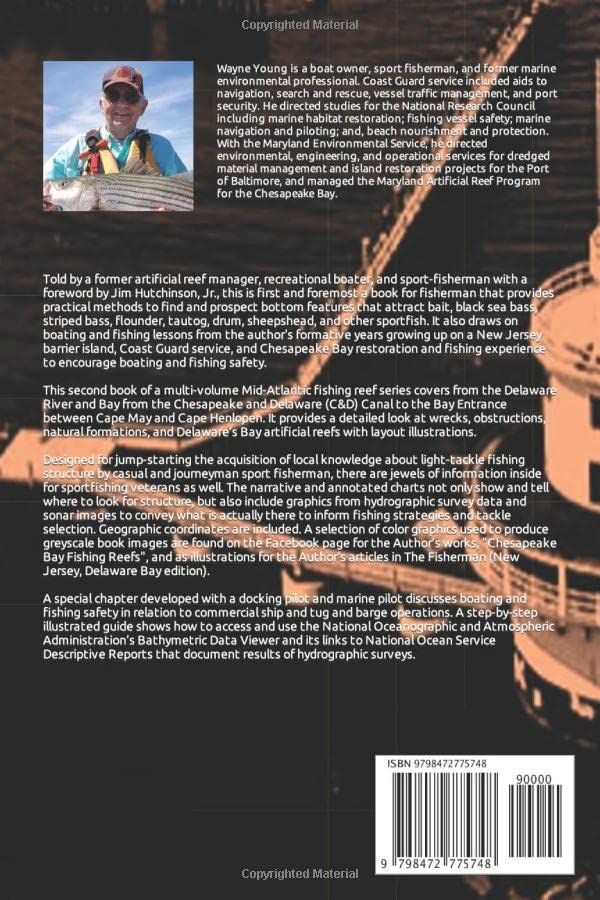
Told by a former artificial reef manager, recreational boater, and sport-fisherman with a foreword by Jim Hutchinson, Jr., this is first and foremost a book for fisherman that provides practical methods to find and prospect bottom features that attract bait, black sea bass, striped bass, summer flounder, tautog, drum, sheepshead, and other sportfish. It also draws on boating and fishing lessons from the author's formative years growing up on a South Jersey barrier island, Coast Guard service, and Chesapeake Bay restoration and fishing experience to encourage boating and fishing safety.
This second book of a multi-volume Mid-Atlantic fishing reef series covers the Delaware River and Bay from the Chesapeake and Delaware (C&D) Canal to the Bay Entrance between Cape May and Cape Henlopen. It provides a marine environmental professional and recreational fisherman's look at wrecks, obstructions, natural formations, and Delaware’s Bay artificial reefs with layout illustrations.
Designed for jump-starting the acquisition of local knowledge about light-tackle fishing structure by casual and journeyman sport fisherman, there are jewels of information inside for sportfishing veterans as well. The narrative and annotated charts not only show and tell where to look for structure, but also includes graphics from hydrographic survey data and sonar images to convey what is actually there to inform fishing strategies and tackle selection. Geographic coordinates are included. A selection of color graphics used to produce book greyscale images are found on the Facebook page for the Author’s works, "Chesapeake Bay Fishing Reefs", and as illustrations for the Author's articles in The Fisherman (New Jersey, Delaware Bay edition).
A special chapter developed with a docking pilot and marine pilot discusses boating and fishing safety in relation to commercial ship and tug and barge operations. A step-by-step illustrated guide shows how to access and use the National Oceanographic and Atmospheric Administration’s Bathymetric Data Viewer and its links to National Ocean Service Descriptive Reports that document results of hydrographic surveys.
Share