Amazon
Delorme Atlas & Gazetteer: Missouri
Delorme Atlas & Gazetteer: Missouri
Couldn't load pickup availability
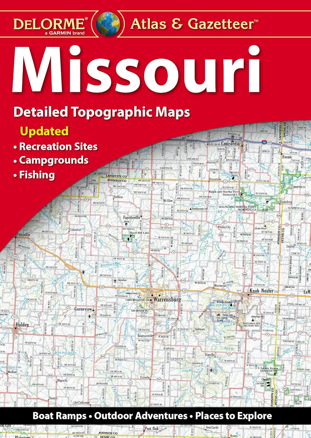
With an incredible wealth of detail, DeLorme's Atlas & Gazetteer is the perfect companion for exploring the Missouri outdoors. Extensively indexed, full-color topographic maps provide information on everything from cities and towns to historic sites, scenic drives, trailheads, boat ramps and even prime fishing spots. The Atlas & Gazetteer is your most comprehensive navigational guide to Missouri's backcountry. - Full-color topographic maps provide information on everything from cities and towns to historic sites, scenic drives, recreation areas, trailheads, boat ramps and prime fishing spots. - Extensively indexed. - Handy latitude/longitude overlay grid for each map allows you to navigate with GPS. - Inset maps provided for major cities as well as all state lands. Product Details Dimensions: 15.5" x 11".
- Full-color topographic maps provide information on everything from cities and towns to historic sites, scenic drives, recreation areas, trailheads, boat ramps and prime fishing spots
- Extensively indexed
- Handy latitude/longitude overlay grid for each map allows you to navigate with GPS
- Inset maps provided for major cities as well as all state lands
- Copyright 2024
| Color | Multicolor |
| Brand | DeLorme Publishing |
| Map Type | Topographic |
| Paper Finish | Matte |
| Sheet Size | larger than rack-sized |
Share