1
/
of
1
Amazon
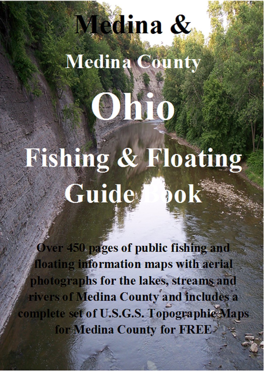
Medina and Medina County Ohio Fishing & Floating Guide Book: Complete fishing and floating information for Medina County Ohio (Ohio Fishing & Floating Guide Books Book 52)
Medina and Medina County Ohio Fishing & Floating Guide Book: Complete fishing and floating information for Medina County Ohio (Ohio Fishing & Floating Guide Books Book 52)
Regular price
$ 18.95 USD
Regular price
$ 18.95 USD
Sale price
$ 18.95 USD
Unit price
/
per
Couldn't load pickup availability
Medina County
Fishing & Floating
Guide Book
Over 450 full 8 ½ x 11 pages of information and maps available. Fishing information for ALL of the county’s public ponds and lakes, listing types of fish for each pond or lake, average sizes, and exact locations with GPS coordinates and directions. Also included is fishing information for most of the streams and rivers including access points and public areas with road contact and crossing points and also includes fish types and average sizes.
NEW NEW Now with a complete set of 17 full sized U.S.G.S. Topographical Maps for the entire county that cost from $8.00 to $15.00 each but are included on the disk for FREE. These maps are complete full sized 7.5 minute series quadrangle maps in 1:24,000 scale and can be opened with Paint or may other types of software.
Contains complete information on Brunswick City Park Ponds, Chippewa Creek, East Branch Black River*, East Branch Rocky River, Green Leaf Park Pond, Hinckley Lake, Hubbard Park Lake, Killbuck Creek*, Medina City Lake, Muddy Fork Mohican River*, Plum Creek, Plum Creek Park Ponds, River Styx Park Pond, Rocky River*, Spencer Lake, Wadsworth City Park Pond, West Branch Rocky River*, and Wolf Creek
(* are floatable or canoeable rivers)
Share